| Saturday, 11 Jan 2025 |
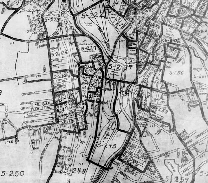
1940 Enumeration District MapsOur thanks to Steve Morse for yet another in his series of great One-Step tools for genealogists! The map below is just a partial sample 1940 Enumeration District Map for the city of Waterbury, located in New Haven County, Connecticut. You can see the markings for the E.D.'s on this map — 5-222, 5-223, 5-224, etc. The 5 indicates New Haven County, one of just 8 counties in the state of Connecticut. The sequential numbers represent the actual enumeration districts within the city of Waterbury.   Please contact us if you know of other useful pages about 1940 Enumeration District Maps. |